Outer circum New River Watershed Test June 8th 2005
 TAP THIS FOR FULL MAP PDF!
The field data on this webpage is from oldest
to more current.
I just started this blog to list our testing
so I am finding our old tests results and am
adding it to this page. To get current
results scroll down.
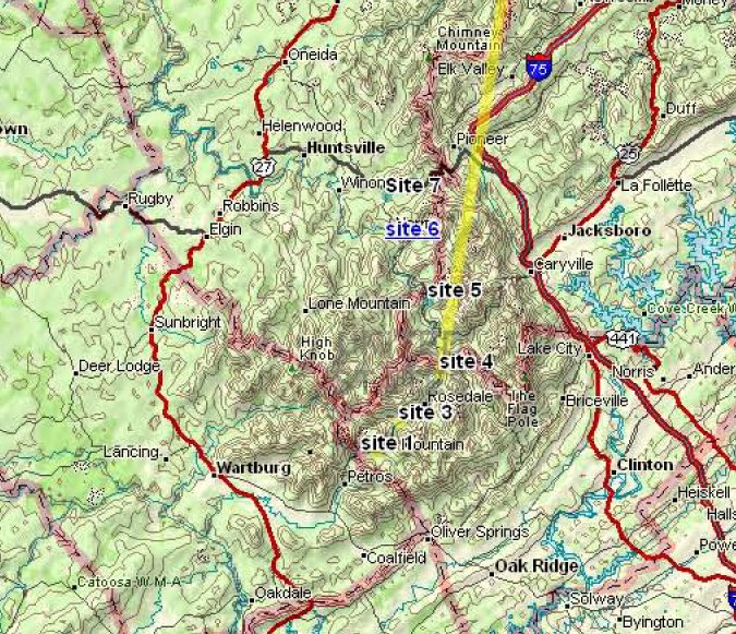
New River testing June 8th 2005
Notes:
All the results came from a Lamotte water testing kit
except for the drop kit. The drop kit is a liquid test
commonly used on aquariums to measure Ph. We started
at the southern part of the New River above the
Anderson county line on Hwy 116 which becomes the New
River Road. The car milege is to facilitate how many
miles the streams are apart. I have no idea what “CP”
s are but I wrote down the signs when I saw them.
We got samples from as close to the middle of the
streams as possible. We collected samples in plastic
water bottles and numbered the sample bottles. When
then took The bottles home and tested them with the
Lamotte kits.
TAP THIS TO VIEW STREAM TEST RESULTS 1-7
posted by Chris Irwin @ 3:20 PM
![]()
![]()

<< Home